High-resolution optical satellite imagery

Remote sensing of gamba grass invasion

High-resolution optical satellite imagery

Remote sensing of gamba grass invasion

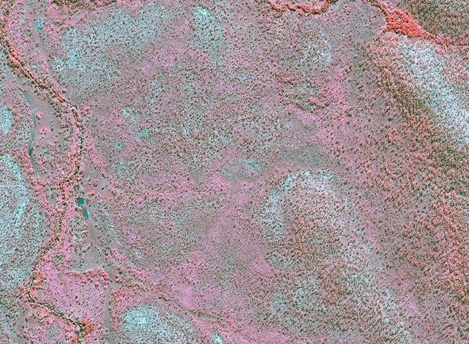
Gamba grass is a major threat to ecosystems of northern Australia, through its alteration of natural fire regimes.

This projects aims to explore how gamba grass can be mapped and monitored remotely, using combinations of field mapping, satellite remote sensing, and advanced image processing techniques.

Avatar
Shaun R Levick
Principal Research Scientist

I am a geospatial ecologist who uses remote sensing and spatial data analytics to improve land management outcomes in tropical ecosystems. My research focusses on natural capital accounting, biodiversity analytics, landscape rehabilitation, and computer vision for science communication.