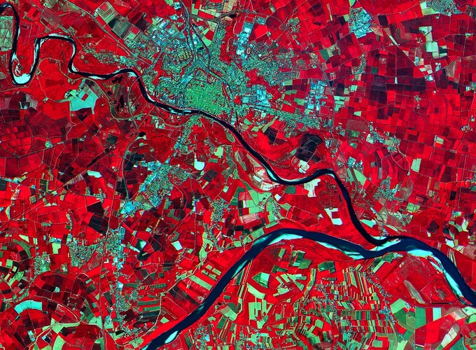
This short course brings together the theoretical concepts of landscape ecology with spatial analysis techniques from remote sensing and GIS to address landscape scale applications of relevance to natural resource management. Landscape ecology is concerned with spatial patterns, in particular spatial heterogeneity across landscapes, the spatial and temporal arrangement of features, and the implications of this patterning for ecosystems. This course takes a practical approach to look at how landscape analysis can be used to quantify pattern to generate land cover and habitat maps using digital image processing techniques and explores spatial pattern analysis techniques in the form of landscape metrics using local applications. Important issues such as scale, data integration errors and natural variability in landscapes are addressed in terms of classifying landscape features and identifying temporal changes.
This course utilises the Google Earth Engine processing environment for handling large datasets and for analysing trends in rich time-series. Basic JavaScript programming is also covered.
Available on YouTube
This course content is available online with step-by-step instructional videos:
