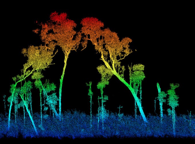
This project aims to improve estimates of live and dead woody plant biomass in savanna ecosystems, using new developments in terrestrial laser scanning (TLS) and machine learning.
Field-based measurements and allometric equations contain inherent uncertainties that are not adequately accounted for in current methodologies. Remote sensing can help quantify and reduce uncertainties, improve predictions over larger spatial scales.
This project will bring greater rigour to carbon markets in northern Australia through high precision 3D modelling of ecosystems.